Winter is showing up across the Northwest. Storms are dropping early snow from the Cascades to the Tetons, and holiday travel could get messy. The big question many of us have right now is simple.
When will the snow finally stick?
Below is a clear breakdown of what’s coming for Washington, Oregon, Idaho, Montana, and Wyoming based on NOAA and National Weather Service outlooks. This is your mobile-friendly report on snow levels, pass conditions, and what it means for early-season skiing, hiking, and driving.
Northwest Winter Pattern Is Shifting Fast
A colder pattern is moving in across the region. NOAA shows a mix of light to moderate storms lined up through early December. These systems are colder than the ones we saw earlier this fall, which means snow will start to hold at higher elevations and may start sticking at mid-elevations too.
The biggest drivers right now:
- Colder overnight lows
- More moisture arriving from the Pacific
- Stronger mountain winds
- Early-season ground cooling
This combination helps snow survive longer instead of melting out overnight.
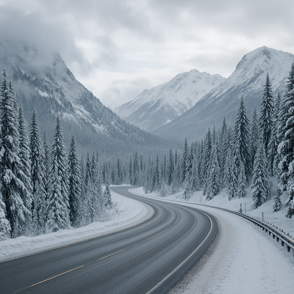
Washington Passes: When Snow Will Stick
Washington’s mountain passes are already seeing fresh accumulation. The Seattle Times reports holiday travelers should expect snow and slowdowns.
Snoqualmie Pass:
Frequent light snow this week. Expect sticking snow overnight and on shaded areas. Travel delays likely.
Stevens Pass:
Colder and snowier than Snoqualmie. Snow will stick most nights now.
White Pass:
Expect on-and-off snow with icy mornings. Snowpack will build slower but steadily.
Blewett Pass:
Colder temps mean snow should start sticking after each storm this week.
Mount Baker area:
Deep snow already. Snowpack will continue to build quickly.
Good resource: WSDOT pass cameras and forecasts
Oregon Passes and Cascade Snow
Oregon is entering its early-winter pattern with colder storms hitting the Cascades.
Santiam Pass:
Snow is falling and will start sticking most nights this week.
Willamette Pass:
Colder temps make sticky snow likely. Expect mixed rain/snow during afternoons.
Government Camp / Mt. Hood:
Consistent snow. Timberline and Meadows benefit most. Expect a solid early base.
Bend and Central Oregon:
Light valley snow possible. Mountains and high desert foothills will start seeing lasting snow patches.
Idaho: Sawtooths and Passes Turning White
Idaho’s mountains are cooling fast.
Lookout Pass:
Snow is sticking now. Expect classic early-winter conditions.
Silver Mountain:
Fresh snow this week with sticking snow at all upper elevations.
Bogus Basin:
Lower mountain snow may melt between storms, but upper elevations are starting to hold snow.
Sawtooth + Salmon–Challis region:
Cold nights mean snow will stick easily, especially above 6,000 feet.
Montana: Snowpack is Starting
Montana is usually ahead of the curve for winter. This week continues that pattern.
Bozeman / Big Sky:
Snow is sticking at Big Sky’s mid-mountain. Valley snow is hit-or-miss but icy mornings are likely.
Missoula / Lolo Pass:
Snow is sticking now. Expect ongoing snow showers and slick driving conditions.
Glacier region:
Cold enough for snow to stay on most north-facing slopes.
Travel will be slow on all main passes with early-season ice.
Wyoming: Tetons and Yellowstone Ready for Winter
Wyoming is entering full early-winter conditions.
Teton Pass:
Snow is sticking and will keep building. Commuters should expect daily winter driving.
Jackson Hole Mountain Resort:
Ski terrain is filling in. Storms this week help the base.
Yellowstone region:
Wide swings in conditions. Road closures start as snow increases.
Wind River Range:
Cold enough for lasting snowpack above 8,000 feet.
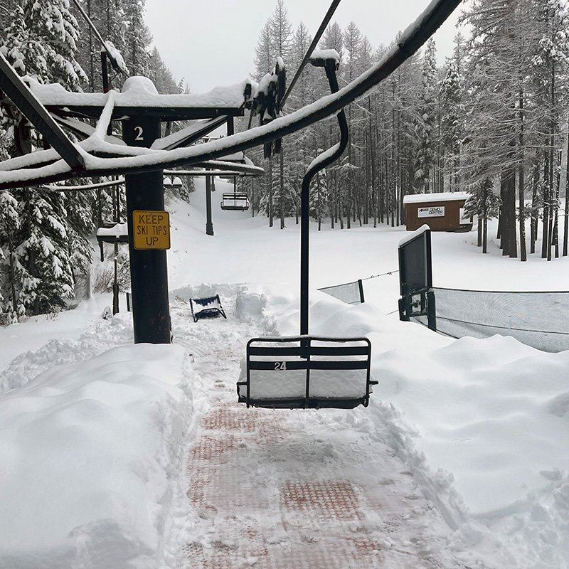
Ski Season Outlook Across the Northwest
Many resorts are waiting for one or two more solid storms. Others are already spinning early lifts.
Likely early or on-time openings:
- Mt. Baker
- Timberline
- Lookout Pass
- Grand Targhee
- Big Sky (partial)
Needing a bit more snow:
- Crystal
- Summit at Snoqualmie
- Mt. Hood Meadows (upper lifts okay)
- Bogus Basin
- Schweitzer
The cold pattern means everything is trending in the right direction.
Avalanche Danger Rises in December
Early-season snow can hide rocks, logs, and weak layers. NWAC, the Sawtooth Avalanche Center, and Bridger-Teton Avalanche Center all warn that thin early snowpacks are unpredictable.
Good rule: If steep terrain is snow-covered, assume avalanche risk exists.
How All This Affects Holiday Travel
Thanksgiving week is one of the busiest travel weeks of the year. With fresh snow across the Northwest:
- Expect longer drive times
- Expect chain requirements
- Expect pass closures for short periods
- Expect early black ice
Best practice is to check state DOT sites before leaving:
- WSDOT
- ODOT
- ITD
- MDT
- WYDOT
Wrapping Up
Snow is finally sticking across the Northwest. Washington, Oregon, Idaho, Montana, and Wyoming will all feel more like winter as colder storms push in. If you’re traveling, driving passes, or getting ready for ski season, expect real winter conditions over the next two weeks.

4 thoughts on “When Will the Snow Stick? A Northwest Winter Forecast Update”
Comments are closed.