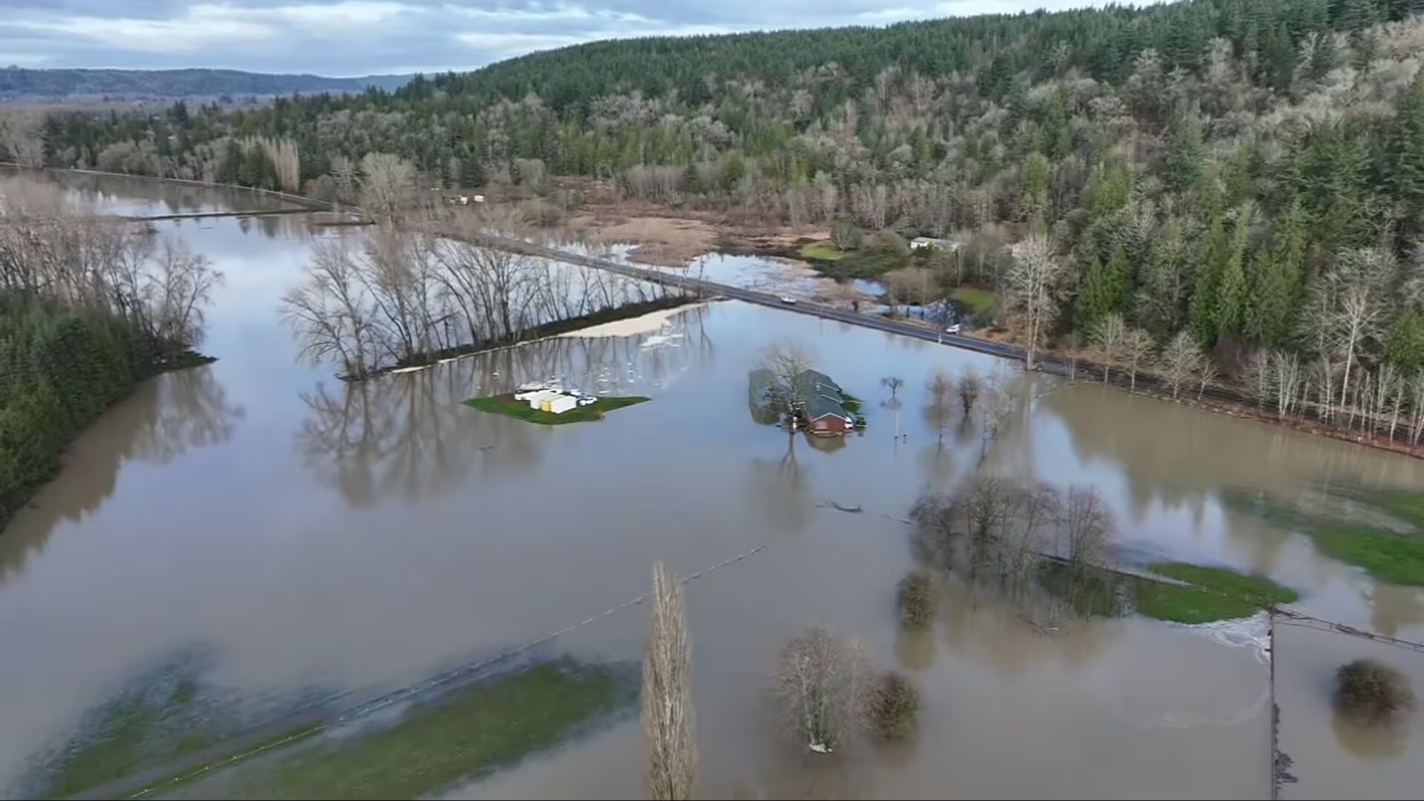
A powerful atmospheric river is pounding Washington and Oregon with days of heavy rain. Lowland rivers are rising fast and causing floods. Roads are flooding, and saturated hillsides are getting unstable after round after round of moisture.
This is one of the strongest early-winter rain events we’ve seen in a while. It’s already forcing closures across the region and creating tough conditions for anyone traveling or recreating outdoors.
Rivers across Washington and Oregon are spilling over
Flood watches and warnings stretch from the Washington coast to the Cascade foothills and down into northwest Oregon. Some locations have already hit flood stage.
Rivers to watch closely right now include:
- Skagit River
- Snoqualmie River (all forks)
- Puyallup River
- Nisqually River
- Carbon River
- Cowlitz River
- Skykomish and Snohomish Rivers
- Grays and Naselle Rivers on the coast
Many smaller creeks are also running high. Urban flooding is popping up in Olympia, Tacoma, Seattle, Portland, and parts of the Willamette Valley as storm drains struggle to keep up.
If you’re driving, remember this simple rule: If water is on the road, turn around. Even shallow water can sweep a car.
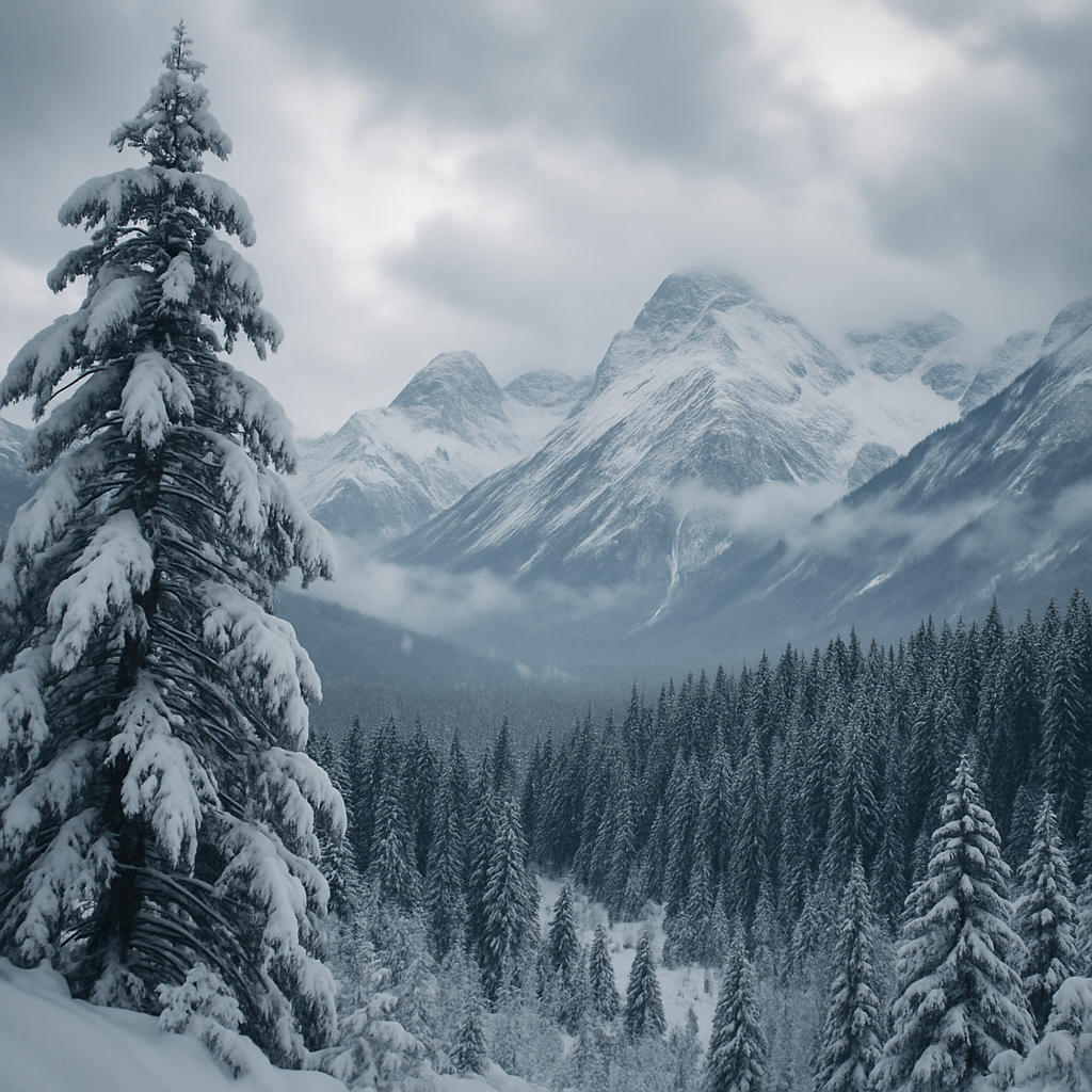
Is the storm bringing mountain snow?
The short answer is yes… but only up high.
This atmospheric river is warm. Most mid-elevation terrain in the Cascades and Olympics is seeing heavy rain, not snow. That adds more runoff to already-full rivers.
Snow is falling mainly at the highest peaks and ridgelines. Early reports show accumulating snow above roughly 5,500–6,000 feet, but not enough yet to offset the rain lower down.
This mix of rain + limited high snow creates two challenges:
- It boosts flood risk as rain-on-snow melts early snowpack.
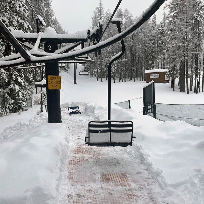
- It delays the start of a healthy winter base for ski areas and backcountry travel.
We will keep checking pass cameras, SNOTEL stations, and mountain forecasts. I can update this story daily if needed.
Landslides and mudslides are now a major concern
Soils across western Washington and northwest Oregon are saturated. When the ground gets this wet, slopes begin to shift.
Watch for:
- Cracks in the ground near steep hills
- Small slides along forest roads
- Debris on highways
- Leaning trees or sudden changes around foundations
Trails near steep valleys or older burn scars are especially vulnerable. If you hike this week, choose flatter, low-risk areas away from cliffs and riverbanks.
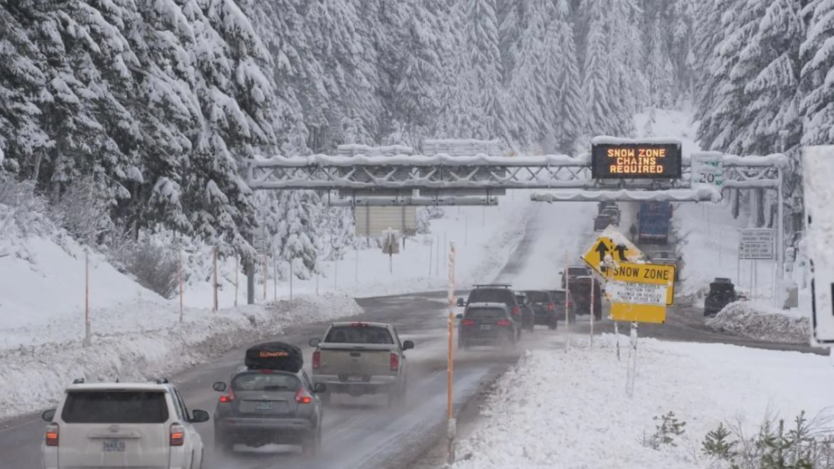
Road conditions remain rough across the region
Expect:
- Flooded highways in the lowlands
- Standing water that hides deep potholes
- Reduced visibility in heavy rain
- Rockfall on mountain passes
- Forest road washouts
Before heading anywhere, check WSDOT, ODOT, and county updates. Many closures are popping up with little warning.
How to stay safe during this storm
Here’s a quick OutdoorsNW checklist:
- Avoid rivers, creeks, and unstable slopes for the next few days.
- Don’t drive through water on the road.
- Keep well back from rising riverbanks.
- If you’re heading uphill, expect rain in the foothills and snow only at the very top.
- Pack extra layers and avoid solo travel on forest roads.
- Follow National Weather Service alerts for your county.
What this means for the outdoor season
This storm resets the landscape heading into winter. Trails will take damage. Rivers will shift and carve new channels. Some access roads may stay closed for weeks.
But the snow up high, even if limited, is a start. Once colder storms return, the mountains should begin to build a healthier base.
For now, the focus is safety. The region is soaked, and more rain could follow. We’ll keep tracking river gauges, snow levels, and closures so you have the clearest picture of how the outdoors is changing day to day.