Winter is building across the Northwest and Northern Rockies. Storms keep moving in. Mountain snow keeps adding up. And everyone wants to know if a big mid-December cold snap is coming.
Right now the answer looks simple:
- Yes, storms continue for all five states
- Yes, the mountains see new snow
- Yes, nights get colder inland
- No, we don’t see a major Arctic blast yet
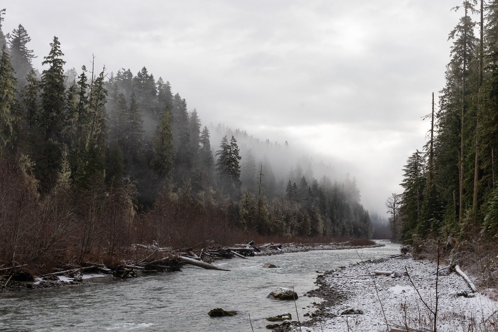
This is a steady early-winter pattern. Wet on the west sides. Colder inland. Snow in the mountains every few days.
Stormy but mild across Washington
Western Washington stays wet and breezy through mid-December. Highs sit near the upper 40s. Lows stay above freezing most nights.
The Cascades pick up regular snow. It won’t be deep, but it will be enough to slow travel on Snoqualmie, Stevens, and White Pass. Stronger wind hits the coast and north Sound at times.
What to expect:
- Rain for Seattle, Tacoma, Olympia
- Snow mainly above 3,500–4,000 feet
- Slippery passes
- Short windows of heavier showers
Oregon sees classic December rain and mountain snow
Oregon mirrors Washington. The west side stays wet, with highs in the mid to upper 40s.
The Oregon Cascades continue to build snow at Santiam Pass, Mt. Hood, and the central mountains. Ski areas see steady improvement but not huge dumps yet.
What to expect:
- Rain for Portland, Salem, Eugene
- Snow in the Cascades
- Wet roads in valleys
- Growing avalanche concerns at higher elevations
Idaho shifts into colder early-winter patterns
Idaho starts to feel real winter. Boise stays cool, with highs in the 30s and 40s. Nights dip into the 20s. Light snow returns every few days, mainly for the mountains.
Areas around McCall, Stanley, Sun Valley, and the Panhandle hold the steadiest chill.
What to expect:
- Icy mornings
- Light snow on travel days
- Cooler nights across the state
- Shifting snow quality in ski zones
Montana holds the region’s coldest air
Montana sits closest to the Arctic door. Temperatures stay the coldest in our five-state region, especially in the valleys and along the Rockies.
Highs hover in the 20s and 30s. Lows slip into the teens. Snow stays light but steady with each passing system.
What to expect:
- Freezing daytime temps at times
- Light snow for Bozeman, Missoula, and Helena
- Icy roads on I-90
- Early-season avalanche concerns in shallow-snow terrain
Wyoming stays firmly in winter mode
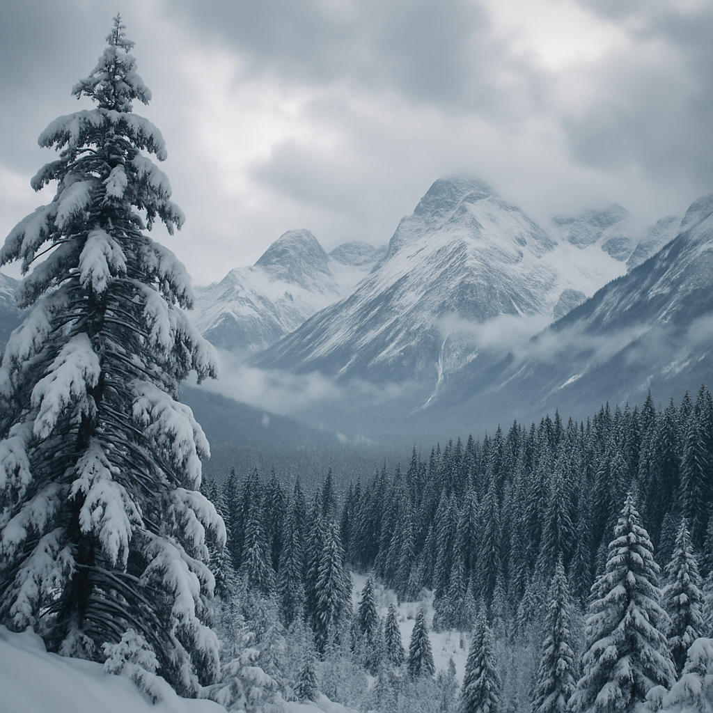
Wyoming holds steady winter conditions through mid-December. The Tetons, Wind River Range, and the Yellowstone region stay cold and snowy.
Highs run in the 20s and 30s. Lows fall into the teens, with colder pockets in sheltered valleys.
What to expect:
- Frequent light snow
- Steady snowpack growth
- Cold mornings in Jackson and Cody
- Improving ski conditions at Jackson Hole and Grand Targhee
Arctic air stays north… for now
We don’t see a major Arctic outbreak locked in for mid-December. Cold air stays centered farther north and east.
But this pattern is flexible. If the door opens later in December, cold air could drop into:
- Montana
- Wyoming
- Idaho
- Eastern Washington and Oregon
We’ll watch it closely because these shifts can happen fast.
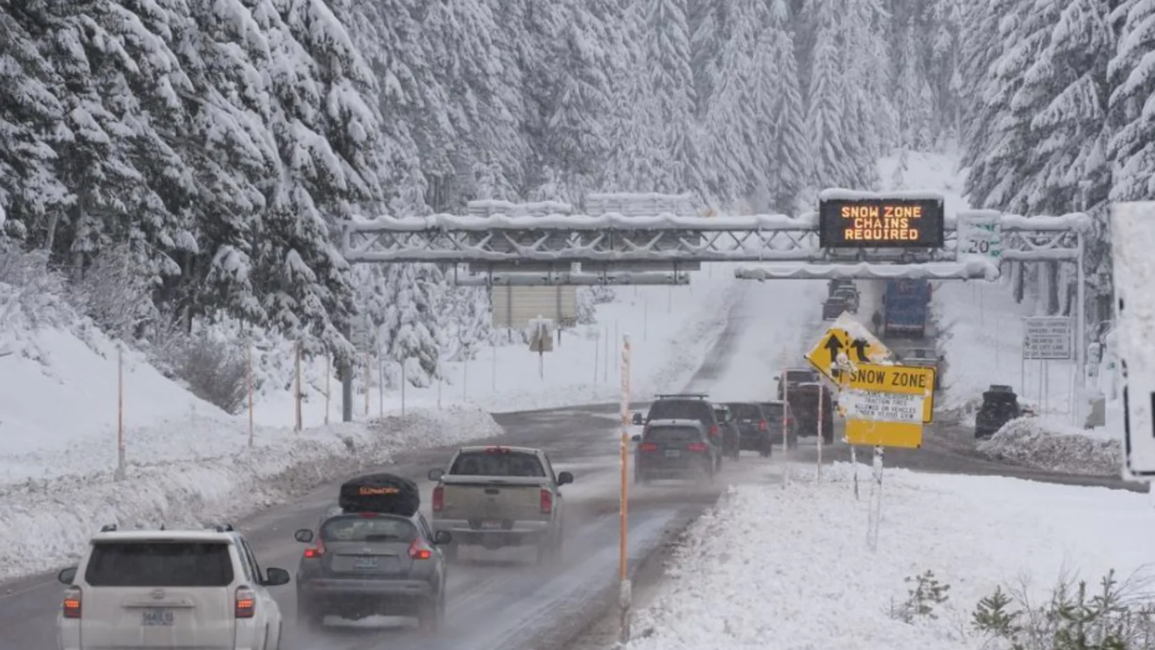
Travel impacts grow as storms pass through
Winter travel ramps up this week across all five states. Expect:
- Wet roads in western WA and OR
- Icy stretches in Idaho and Montana
- Slick passes from the Cascades to the Tetons
- Low visibility in heavier showers or snow
- Chain requirements at times
Drivers heading over Snoqualmie, Stevens, Lookout, Lolo, Bozeman, and Teton Pass should check updates before leaving.
Ski areas gain snow, but not huge dumps yet
The steady storm track helps ski areas across the Northwest and Rockies.
Snow improves at:
- Mt. Baker, Stevens, Crystal, Mt. Hood
- Schweitzer, Silver, Lookout Pass
- Big Sky, Bridger, Red Lodge
- Jackson Hole, Grand Targhee
It’s not a blockbuster week, but it’s a healthy base-builder.
Simple steps to be winter-ready
Keep it easy and practical:
- Check pass cams and weather apps
- Carry chains and warm layers
- Slow down on shaded roads
- Watch for morning ice
- Ski earlier in the day for firmer snow
Before you go outside…
Mid-December brings a steady mix of storms, mountain snow, and early-winter chill across Washington, Oregon, Idaho, Montana, and Wyoming. It’s active but manageable. And for now, no major cold snap is locked in.
It’s winter building the way it should.